|
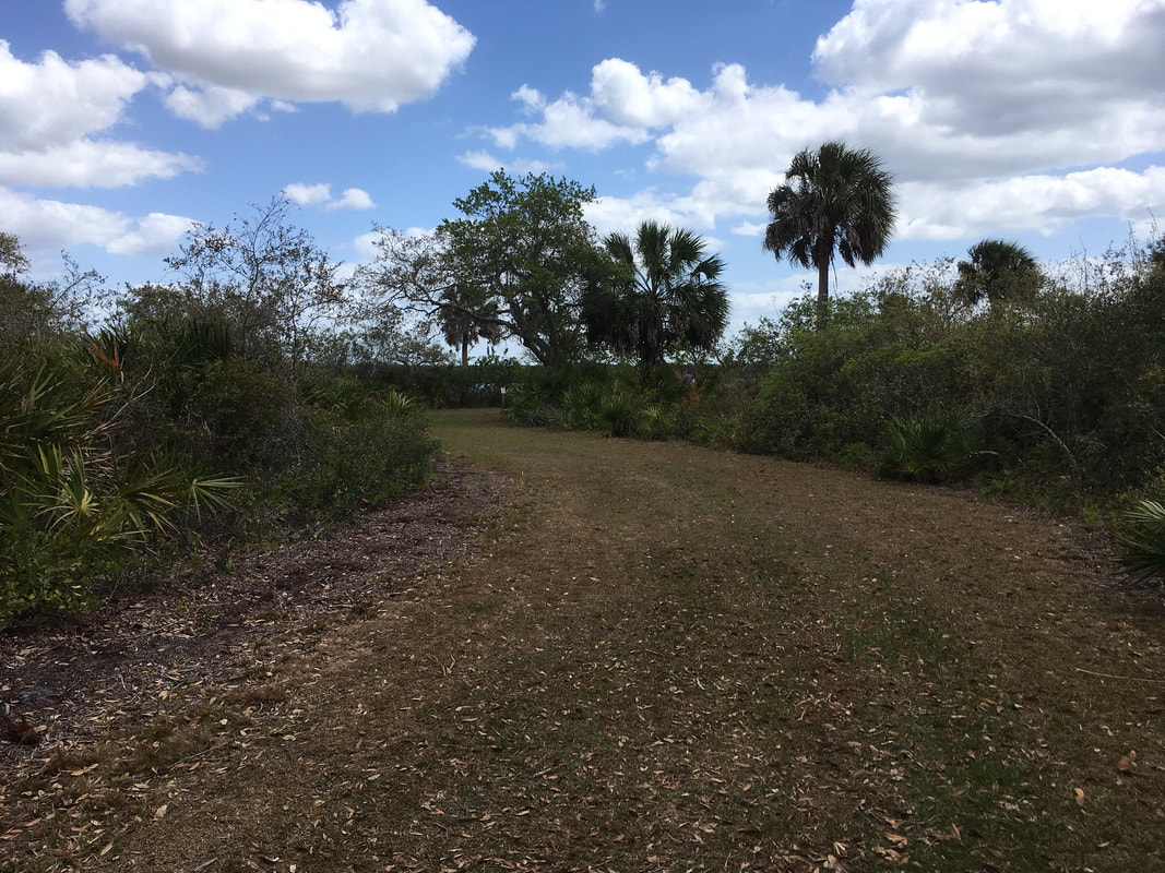
On the western edge of Tampa facing Oldsmar is a gem of a park named Upper Tampa Bay Park. Packed into this quiet peninsula on the northern part of the bay is a nature center, three trails, a good playground, water fountains, plenty of parking, and most importantly plenty of restrooms. There are many covered picnic tables and pavilions. You can also rent canoes there.
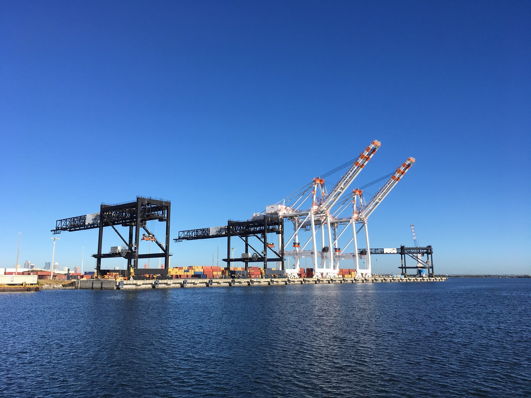
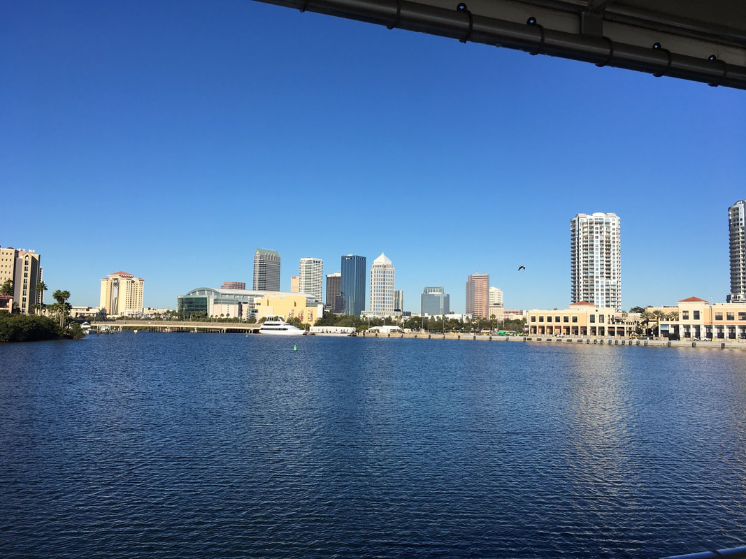
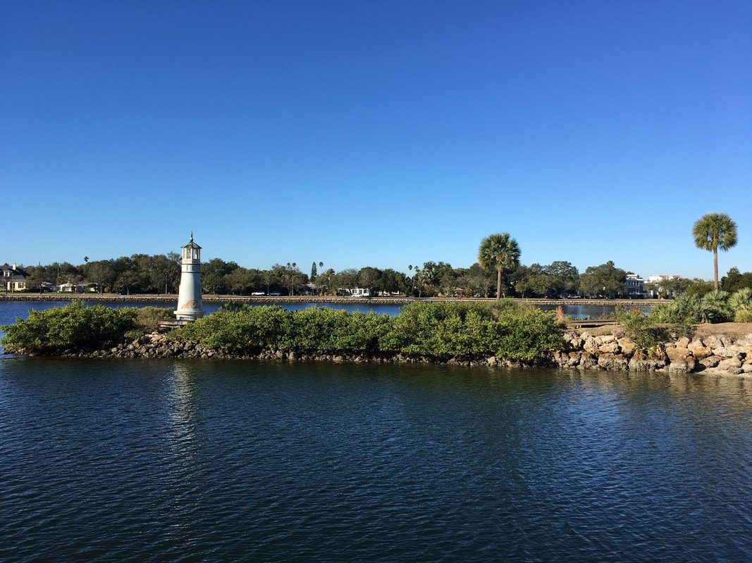
For those who get up early enough, a free educational tour of the port is available on the Bay Spirit Two (which also does paid dolphin tours). Leaving from the back of the Florida Aquarium next to the American Victory Ship, I got see well-known buildings from the opposite side. I learned the history of how the channels were deepened from twelve feet to thirty feet to accommodate larger ships and how the excess sand was used to create islands such as Davis Island, Harbour Island, and several small “spoil islands” reserved for birds and other non-humans only. Tampa imports and exports material from all over the world. I saw giant gantry cranes for moving shipping containers on and off ships. It’s hard to appreciate the size of these until you drive under them. Elsewhere, liquid cargo such as fruit juice is pumped through pipes. Giant silos store grain, phosphorous, sulfur, solar salts, and other materials. There are several dry docks that work by being filled with water until they sink, allowing a ship to slip into them, and then are raised by pumping the water out of them allowing them to float again. This allows workers to clean and repair ships without having to use scuba gear, which I gather is quite an inconvenience. I also imagine that welding might be a problem. There are also docks set aside for several shrimping boats and for the sheriff’s department. The tour is a treasure to many. It makes for a good field trip and is a good way to kill some time waiting for the aquarium to open. Make reservations by calling 813-905-7678 Other Tours on Bay Spirit II Written by Daniel Noe, WayOutLife.com
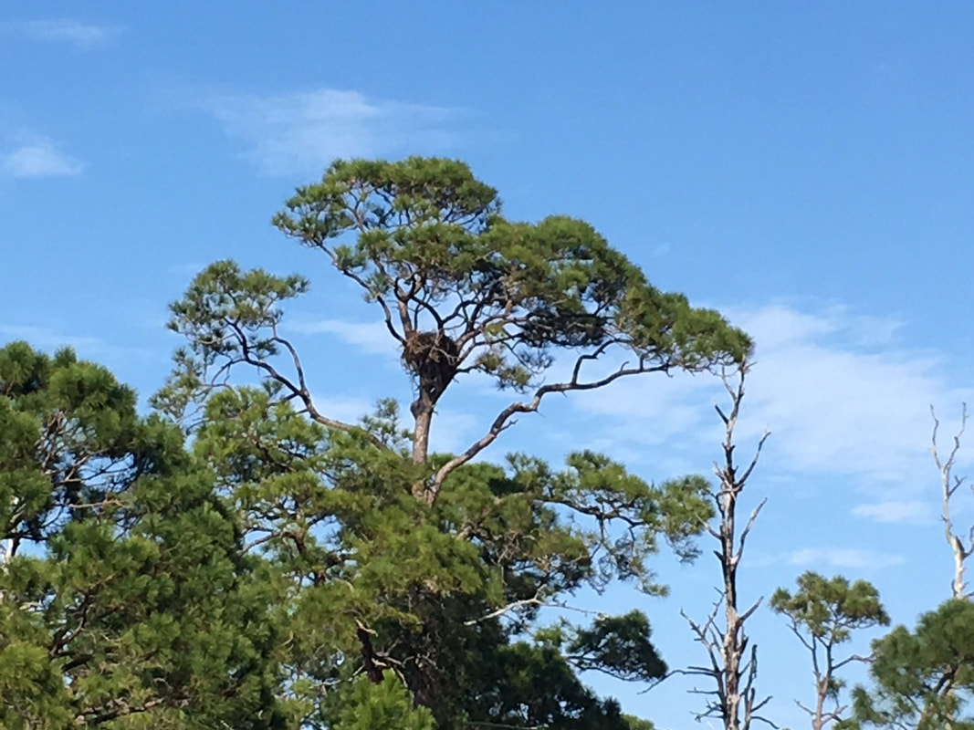
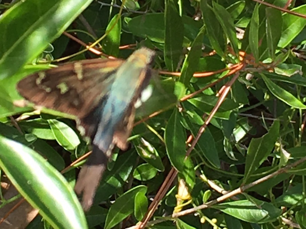
Once upon a time, Honeymoon Island was known as Hog Island and was owned by a pig farmer. Then a hurricane flooded the land and cut the channel known as Hurricane Pass. The former southern half of the island was renamed Caladesi and the former northern half was developed as a getaway for newlyweds. Honeymoon Island was born. It later became a state park. It is accessed by causeway. The north of Honeymoon Island is split, forming Pelican Cove between the east and west arms. I first explored the eastern arm, which faces the mainland. I saw several nests in the trees. Ospreys and vultures were all over the place. There were even bald eagles. From October until May that section of the trail is closed so as not to disturb them. I also saw a moth sitting in a bush. It had an iridescent, hairy back that reminded me of a hummingbird. Returning to the playground parking lot to eat, I saw a tortoise. So did the playground kids. They got enormous pleasure from watching it eat the grass, and I watched them watch it. When I finished, I headed for the west side of the island and walked north along the beach.
I could not find a high tide line and judging by the shells and seaweed strewn everywhere, I suspect that the entire western arm is submerged on a daily basis. The sand was moist and large gulleys led into Pelican cove from among the mangroves. I planned on hiking to the northern tip and back, but I found much to distract me and eventually ran out of sunlight. There was a path part of the way between two groves of trees and numerous doorways cut into them leading to some stunningly beautiful places... |
Hidden TreasuresTown List
All
Archives
December 2019
|
 RSS Feed